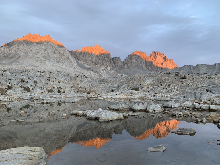
The sun is setting on the Palisades. From left to right: Mt. Agassiz, Mt. Winchell, Thunderbolt Peak
Last week in October, but the weather looked good and I went for one more high mountain trip. It is much colder than at the beginning of the month, nights are well below freezing. The aspen tell what a difference 3 weeks make:
 |

First vs last week in October
Bishop Pass Trail is a very easy and pretty trail, over Bishop Pass into Dusy Basin and then a steep drop to connect with the John Muir trail. Also very popular and crowded during the main season. Mostly day hikers, but overnight permits (only required for overnight trips) are heavily oversubscribed and almost impossible to get in the summer. Similar to the Big Pine North Fork or Mt. Whitney areas.
Yet it turned out that in late October, permits for all days were available and on the day I went, mine was the only permit issued for that day (at least when I made the reservation, which was at 8am that morning - yes, no advance planning here).
I started hiking at 3pm and my car was the only one in the overnight parking lot (not entirely surprising, but then this lot is usually full with day hikers as all parking fills up - backpackers sometimes have to park 1 mile down the road because all other lots are day use only). Sunset was a 6pm and I stopped at Bishop Lake, about 7 km in. All the lakes along the trail are pretty and except for the first two miles, nobody else was out.
 |
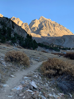
| Bishop Pass Trail and Mt. Agassiz |
And while Agassiz is an impressive mountain, it is not particularly outstanding in this neighborhood. There are more spectacular looking ones, starting with Picture Puzzle (of which I have no picture).
 |
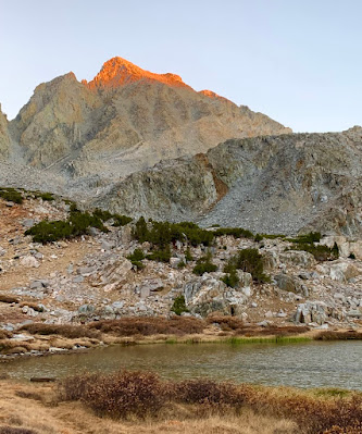
| Bishop Lake and Mt. Agassiz |
Mt. Agassiz is part of the Palisades range, a very steep and rugged group of 12 peaks. The range also has the biggest glacier in the Sierra Nevada, which feeds Big Pine Creek. In this company, Agassiz misses out on any awards, rank 5 in height with 4236m. The imperial measurement crowd adds insult to injury because using that scale it also is the first to miss out on being a "fourteener", despite being only 37m lower than Middle Palisades.
The night was cold, there is a reason why few people are out this time of year. All my water was frozen, but that was expected and I had filled up my pot. Only had to light my stove, no fight with getting ice water to flow.
Bishop Pass is one of the easiest passes and crosses into Sequoia and Kings Canyon National Park. To the east of the pass is Mt Agassiz, which is the last (as in "most northwest") of the Palisades. The aerial distance between Bishop Pass and the top of Mt. Agassiz is only about 1.2 km, but in the mountains it is not the distance that matters. Mt Agassiz is not a technical climb, just scrambling. I left my backback at the pass and made it to the top in about 2 hours and a bit less coming down.

Starting the ascent

Last stretch, almost at the top

On top, looking down the east side of the Palisades with its two glaciers

These are the lakes along the trail North Fork of Big Pine

Looking down at Bishop Pass. To the left of the Pass is Sequoia/Kings Canyon National Park
At the beginning of October, I went up the North Fork of Big Pine Creek. The two peaks I climbed, Cloudripper and Vagabond Peak, are very close, but considered to be in a different range. Here is how those areas hang together (or rather, how they do not hang together but are separated by tall mountains and valleys) - and that only works on a big screen. The previous hike is on the right, starting from Big Pine; this one is on the left, starting from Bishop/South Lake. In meters, not feet.
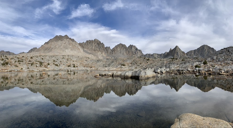
I continued into Dusy Basin, not far from Bishop Pass and not much lower. However, rather than the desolate moon landscape, it is much friendlier looking. It is somewhat swampy and that vegetation makes the difference. I made camp at one of the lakes. It was a very clear, but also very cold night. In the morning, the lake surface was frozen solid (there was very little ice in the evening).


No comments:
Post a Comment
Note: Only a member of this blog may post a comment.